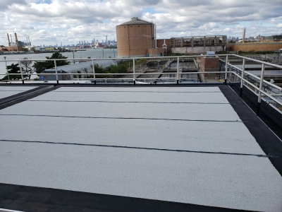

MFS (formerly GEOD) was contracted to perform a subsurface utility investigation at the Sewerage Treatment Facility located at Hunts Point, New York.
The investigation corridor included the access roadway between the aeration tanks and settling tanks in addition to the area around Bldg. 134 and the waterfront. To perform the investigation, MFS (formerly GEOD) utilized a combination of Ground Penetrating Radar and Electro-Magnetic Pipe/Cable Locator technology.
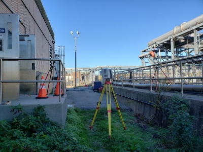
MFS was contracted to perform 3D terrestrial laser scanning at the facility as well. The scanning included in interior and exterior of bldg. 134, as well as the visible outfall structure located within the East River. To perform the 3D terrestrial scanning, data was captured from multiple set-ups within the project area using a tripod mounted Leica P50 Laser Scanner. Individual point clouds captured from each location were registered to site control to create a unified point cloud of each area for data extraction and/or modeling.
Scan data was captured in color at a maximum density of 8mm spacing at 10 meters from the scanner, in addition to panoramic photo images. The bldg. 134 interior scans were tied to the exterior data. MFS utilized an elevating tripod to provide the ability to collect the scan data above pipes, conduit, etc. to minimize blind spots.

