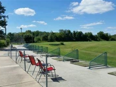
Drone Photogrammetric Survey, Big Swing Golf Center
MFS (formerly GEOD) conducted photogrammetric surveys utilizing drone-based imagery for the Big Swing Golf Center located in Sewell, NJ.
The scope of our work encompassed the following tasks:
• Capturing high-resolution drone-based imagery to create orthophotography and a precise Digital Terrain Model of the property, essential for design purposes.
• Conducting detailed surveys of the 36 hitting bays, including precise measurements of their corners, hitting mats, partitions, and other features such as the posts
supporting the outer netting, tree trunks, and building corners.
• Marking out the proposed locations for radar sensors.
• After construction, conducting surveys of all four corners of each radar sensor to determine their precise positions and elevations.
The final survey data played a critical role in enabling the Inrange software to achieve the promised levels of accuracy for the end users.

- Owner: Alphawave Golf (InRange Golf)
- Services: Drone
