

MFS (formerly GEOD) was selected to perform surveying services to support the design for the introduction of Congestion Price Tolling into the Central Business District of New York City, due to be implemented in 2021.
MFS (formerly GEOD) was selected to perform surveying services to support the design for the introduction of Congestion Price Tolling into the Central Business District of New York City, due to be implemented in 2021.
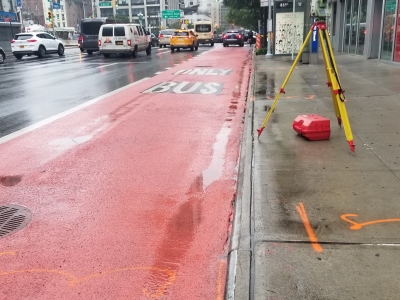
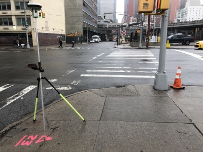
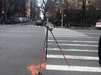
MFS provided topographic base mapping, property and utility record information at 54 sites within 16 locations in Manhattan. A Primary Control Network was established in NY NAD83 Long Island Zone & NAVD 88 datums, while tying into any Manhattan Boro monuments that were recoverable. A Survey Control Report was prepared and signed by a NY PLS. All of the sites were scanned utilizing a combination of tripod mounted scanners as well as mobile LiDAR scanning to create individual point clouds which were then registered to the control for data extraction to create the base mapping. A supplemental field survey was performed to obtain all surface utilities, tree sizes, building entrance vaults & canopies, fuel fill pipes & vents. Utility as-builts were obtained from all relevant agencies, plotted together in the office, and then aligned into the mapping based on utility data that was surveyed in the field. A signage inventory was prepared including geo-tagged photos of all street signs within the limits. Block and Right-Of-Way lines were positioned based on record information combined with all physical evidence recovered in the field and then added to the mapping.
A Digital Terrain Model was created in InRoads from both the Point Cloud Data and the conventionally measured Survey Points to create the project contours. All of the mapping was presented in MTA spec MicroStation V8i.


